[[WRITTEN BY REX SIMMONS, HEALTHY GULF INTERN]]
The Helis Foundation, which is the philanthropic entity of Helis Oil & Gas and the William G. Helis estate, frequently touts their contributions to public arts in Louisiana. Helis funds a master’s program at Xavier University for gallery and exhibition management, sponsor sculptures and murals, and even pays for free admission to art museums for Louisiana residents, and to all when the outdoor temperatures become unbearable. For these reasons, the public perception of Helis has avoided some of the scorn that falls upon larger, more industrious, and more catastrophic oil and gas companies.
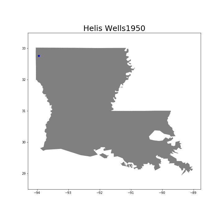
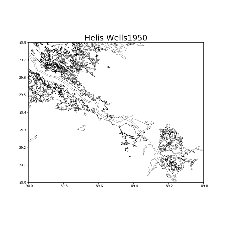
Yet, Helis Oil & Gas has contributed to significant estuary erosion in Plaquemines and Terrebonne parish, directly dredging and drilling over 300 acres of land in coastal Louisiana. They have affected an unknown amount of coastal areas with their regular oil spills, and through erosion from increased shoreline exposure. The effect of the destructive practices to extract oil and natural gas from Louisiana estuaries is further compounded by the implications of providing fossil fuels to the U.S. energy market. The more Helis erodes Louisiana oyster seed grounds and wetlands, the more oil they can extract and sell, which burns and heats up the atmosphere, which contributes to sea level rise, which… erodes the wetlands more. The only solace to be found in this feedback loop is that the hotter the climate gets, the more money the Helis Foundation has to shell out for Art & AC, but at that point the damage will have been dealt permanently.
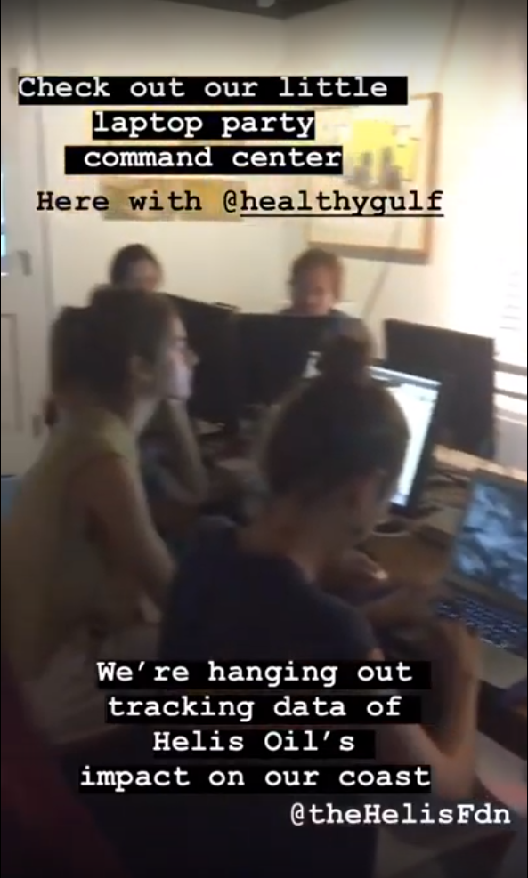
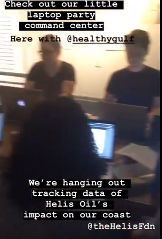
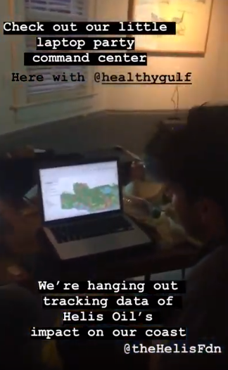
To address this discrepancy between Helis’s deplorable actions in the gulf and their seemingly generous donations to New Orleans artists and the community, the Antenna Art Gallery contacted Healthy Gulf to host an informal presentation and group research night. The goals were to simultaneously educate the public on Helis’s threat to the gulf, and to solicit help researching the thousands of pages of coastal use permits to deduce the exact nature and size of Helis’ imprint. After a presentation by Scott Eustis, about 20 individuals with varying backgrounds in art, environmentalism, activism, and computer mapping got to work scouring the permit documentation. For some, the experience was a refreshing moment of community bonding and a chance to meet individuals with a proclivity towards coastal restoration. For others, it was eye-opening insight into the history of oil companies’ contribution to coastal erosion. Emails were exchanged, pizza was consumed, and valuable data was inputted by helpful volunteers.
This event helped to inspire and create the structure for an online mapping tool, one that can provide accessible information about the actions of the oil and gas industry in the gulf. The interactive map is meant to show the locations of Helis’s oil wells, pipelines, coastal structures, oil spills, and their proximity to oyster leases in the Louisiana gulf. Anyone with a (free) ArcGIS account can copy the map and use the online mapping tools to upload and visually represent different types of data in an accessible format. This tool will continue to be updated as new relevant information presents itself, but the potential for this tool to expand to incorporate crowdsourced data is very exciting.
If you’re interested in this type of event, oil and gas accountability, or general information about a healthier gulf, please consider signing up for the Healthy Gulf email list serve for regular newsletters, or becoming a member and donating to protect our wetlands a restore what is lost.