April is global Citizen Science month. This April, Healthy Gulf, Cartoscope and Unique Mappers are releasing an international effort to help identify damage from oil spills in the Niger Delta. Through Land Pollution Lookout you can learn to identify and help us assess damage from over 300 oil spills in three internationally protected wetland sites in the Niger Delta.
We in the Golden Meadows and Deep Swamps of the Gulf are connected across the Atlantic to the stunning mangrove forests of the Niger Delta-both in the joy we take in our world-class ecosystems, and the petroleum threats that damage it outside of general public’s awareness. After Ida, Healthy Gulf has tracked over 200 oil spills
Join #HealthyGulf’s team in a sprint to support our partners in Nigeria: Unique Mappers. During Healthy Gulf’s Land Loss Lookout project, Unique Mappers in Nigeria looked at over 6,000 images from our Gulf to help us track land loss. This is a great chance to repay that gift by helping to look out for the Niger Delta which, like our own, is experiencing devastating consequences from oil and gas extraction.
The sprint begins with a webinar on the 21st of April at 3pm CST (register here) and concludes with a webinar to share the outcomes on the 29th of April (register here). We need everyone to join us– you, too, can be part of this exciting online Citizen Science event from any part of the globe!
Background on the Niger Delta:
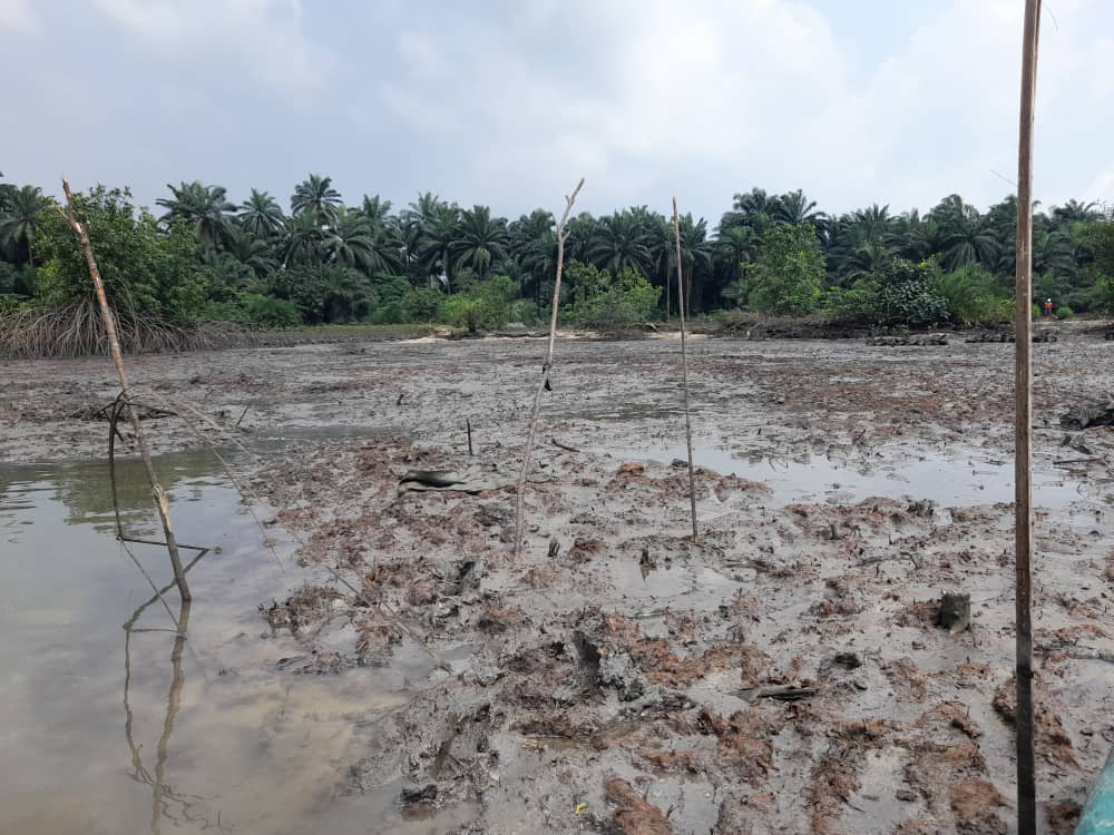
The Niger Delta region of Nigeria is the epicenter of oil exploration and oil spills that have impacted the environment. Most of the communities traversed by pipelines, and oil facilities are heavily impacted by oil spills. As such, there is a need to assess damage to wetland, waterways and other environments in this delta. Even the creeks and the globally recognized Ramsar sites are heavily impacted and are rapidly degrading due to environmentally dangerous activities such as sand mining, oil spill pollution, dredging activity and farmlands.
Communities living in these areas are heavily impacted with this degrading situation, particularly those who depended on fishing for their livelihoods. The Land Pollution Lookout project will create a crowdsourced assessment of environmental indicators in three protected wetland areas of the Niger Delta. By looking at satellite imagery in this project people from Nigeria and the US can work together to build a global citizen science movement looking at impacts from fossil fuel extraction.

As the largest river delta in Africa, the Niger Delta region is known for its rich biodiversity, as well as its oil and gas resources which have been the bedrock of Nigeria’s economy for over 50 years and have provided livelihoods for millions of people. The region currently has three sites listed as Ramsar Wetlands of International importance, yet nationally and locally it is continuously degraded by unsustainable practices and is plagued with a colossal trail of pollution and oil spills.
Since the inception of the Nigerian oil sector, over 13 million tons of crude oil have been reported as spilled in the Niger Delta as a result of operational failures, sabotage, pipeline vandalism, well blowout, and engineering failure. Sites affected by oil spills caused by oil exploitation activities have been identified as a major environmental and socio-economic problem in the region. This is because the livelihood and economy of the local communities are tied to environmental resources such as healthy soil for agriculture and contaminant-free water bodies for fishing.
Irrespective of the ongoing small-scale remediation activities and much improved technologies for exploration and exploitation, the Niger delta is still the most degraded delta with its mangroves, wetlands and all other biological resources polluted.
It is important to draw attention to the shrinking mangrove forest which serves as a form of natural coastal defense against rising sea levels and erosion while also providing rich biodiversity, wellbeing and food security. Mangrove areas have rapidly degraded, not only due to oil pollution, but also because of urbanization. The forest recorded a depletion of 29.09% as of 2016.
By participating in the Land Pollution Lookout, you will help to identify oil spill locations in the Niger Delta. A short tutorial will teach you how to identify oil pipelines, oil spills, and damage to vegetation, farmlands, rivers, and creeks. Then you will be asked to look for those patterns in the recent satellite images. By looking out together, we can help to protect and restore this irreplaceable delta.
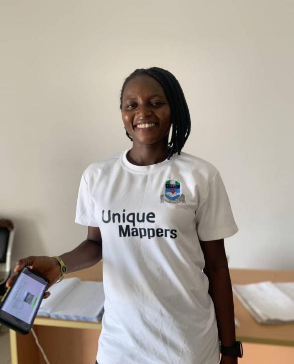
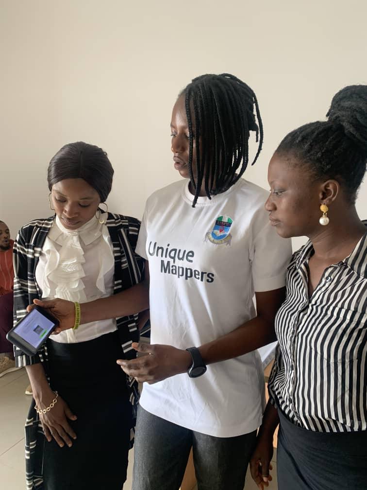
About Unique Mappers Network
Unique Mappers Network (UniqueMappersTeam) or UMT Network is a Nigerian registered nonprofit organization with a mandate and mission for Humanitarian Response and Community Development through:
1. Open Mapping using OpenStreetMap project in Nigeria
2. Mobile Data collection & Field Surveys for open data development
3. Open-Source Geospatial Empowerment using GeoForAll Lab
4. Flying Lab/Community Drone Mapping for open data development
5. Participatory Citizen Science Projects for community engagement
6. Gender-Equality and Youth Empowerment using Open Data & Open Geospatial
7. Community Inclusive Empowerment for Sustainable Development Actions
We network to provide map data that is open and accessible for disaster response, emergency crises, research, and economic development to achieve a measurable target of Sustainable Development Goals.
We drive operational capacity for community engagement across the 36 states of Nigeria, with emerging Unique Mappers state chapters and Unique Mappers response teams in Higher Institutions in Nigeria and Beyond.
Learn more about Unique Mappers Network: https://www.linkedin.com/in/unique-mappers-network-umt-269a6520a/
About Healthy Gulf
Healthy Gulf’s purpose is to collaborate with and serve communities who love the Gulf of Mexico by providing the research, communications, and coalition-building tools needed to reverse the long pattern of over exploitation of the Gulf’s natural resources. https://healthygulf.org/
About Cartoscope
Cartoscope is an NSF funded project to develop and test open source tools for citizen science that improve citizen scientists’ engagement and enjoyment in research projects and support nonprofits to build community through citizen science: https://cartosco.pe/#/home